Winter hiking in Switzerland: trails, equipment, and tips
Is hiking possible in Switzerland in winter?
Yes — Switzerland maintains an extensive network of prepared winter walking trails that are cleared and signposted from December to March. Rigi, the Engadin, Davos, and the Bernese Oberland all offer excellent winter hiking without specialist equipment.
Winter hiking: Switzerland’s accessible cold-weather activity
Switzerland maintains something that few countries bother with: a network of specifically designated and prepared winter walking trails (Winterwanderwege in German, itinéraires pédestres hivernaux in French) that are cleared, marked, and maintained throughout the winter season. These are not ski runs or snowshoe trails — they are paths for ordinary walking footwear (or light boots with microspikes), prepared so that even visitors without any winter mountain experience can safely explore Swiss landscapes in December, January, February, and March.
The trails are signposted with special blue markers (winter walking paths) or yellow markers (when maintained year-round), and they follow routes that avoid avalanche-prone terrain. Trail conditions are updated on cantonal and resort tourism websites. The network connects villages, viewpoints, mountain huts, and transport infrastructure — making it possible to walk point-to-point and return by train or cable car.
This is distinct from snowshoeing, which takes you off the prepared trail network into deeper snow, and from cross-country skiing, which requires specific equipment. Winter hiking requires nothing more than appropriate footwear, warm clothing, and the awareness to check conditions before setting out.
What makes a good winter hiking destination
The best winter hiking areas combine:
- Reliable snow cover at altitude that doesn’t melt and refreeze into ice
- Good trail preparation by local authorities or resort organisations
- Mountain transport access so walks can start high rather than requiring a long cold approach from the valley
- Shelter and mountain restaurants for breaks and emergency refuge
- Public transport connections for point-to-point walks
Switzerland scores highly on all these dimensions, and the major alpine resort areas have particularly invested in their winter trail networks as an alternative activity for non-skiers sharing the resort with skiing partners.
Rigi: the Queen of the Mountains in winter
Mount Rigi, the pre-alpine summit above the lakes of Lucerne, Zug, and Lauerz, is one of the finest winter hiking destinations in central Switzerland. The extensive plateau at 1,400-1,800m altitude is served by two rack railways (from Vitznau and Arth-Goldau, both covered by the Swiss Travel Pass) and a cable car from Weggis.
The prepared winter trail network on Rigi covers approximately 20km of walking paths across the summit area. Key routes:
Rigi-Kulm to Rigi-Staffel (easy, 2km, 45 minutes): The ridge walk between the two highest points on the summit plateau. Views stretch from the Bernese Alps to the west to the Glarus Alps to the east, and north across the Mittelland to the Black Forest on clear days. The sunrise viewed from Rigi-Kulm is famous — take the first morning train from Vitznau to experience it.
Rigi-Staffel to Rigi-Kaltbad (easy, 3km, 1 hour): A traverse along the south-facing slope with views over Lake Lucerne throughout. Kaltbad has the Rigi Kaltbad mineral bath and spa, open year-round — an excellent end point for a winter walk.
Rigi-First loop (moderate, 8km, 3 hours): A circuit around the quieter north side of the Rigi plateau through forest and open meadow. Less visited than the main ridge but equally beautiful.
Practical details: Take the rack railway from Vitznau (reached by lake boat or car from Lucerne) or from Arth-Goldau (reached by SBB main line). Both railways covered by Swiss Travel Pass. Trail maps available from the Rigi tourism office and at station kiosks. Allow a full day for the Rigi in winter including transport.
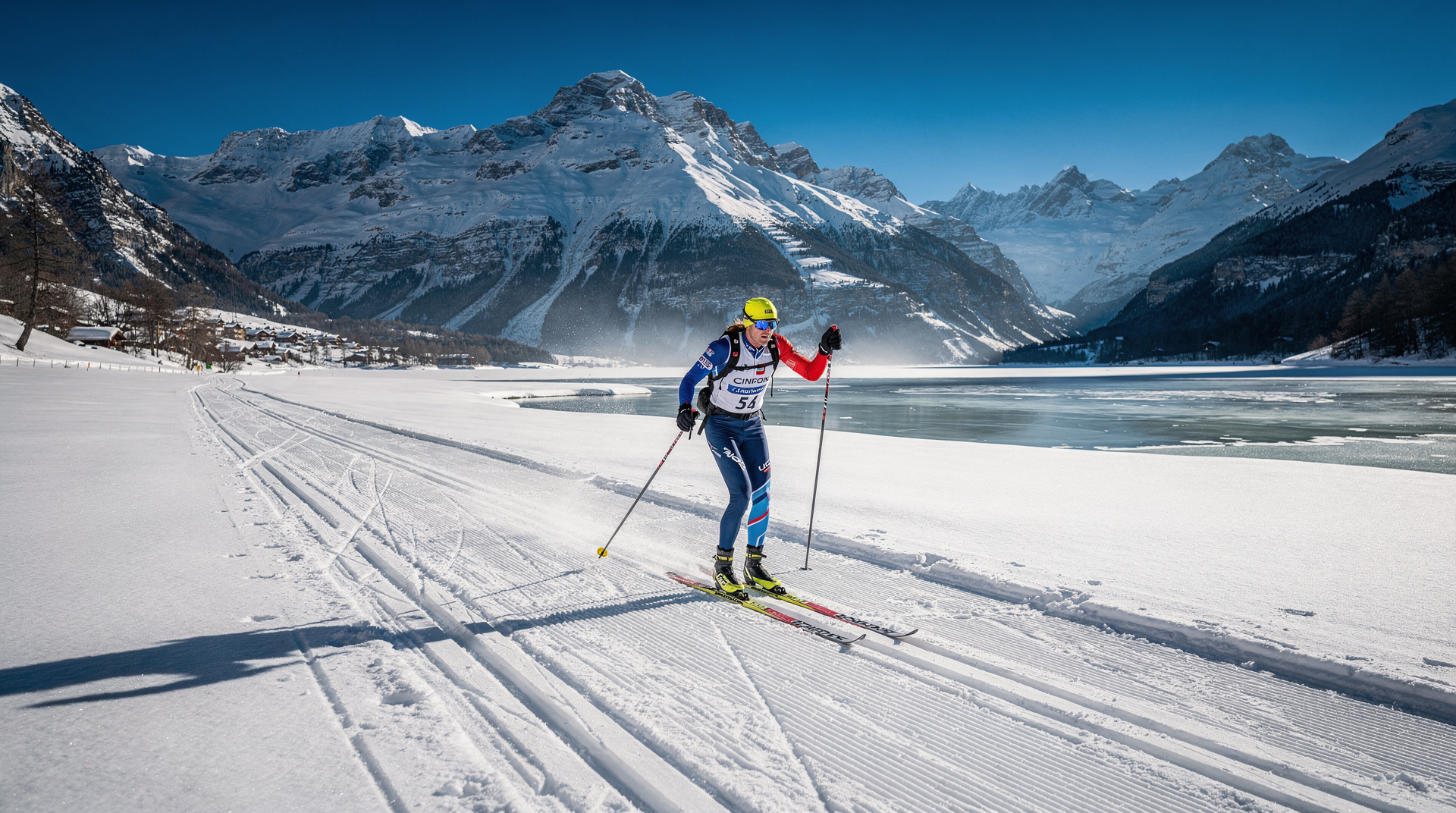
Engadin: high-altitude winter trails
The Upper Engadin at 1,700-1,800m elevation has an extensive prepared winter walking network running alongside but separate from the cross-country ski trails. The crisp, dry air of the Engadin (above most cloud inversions in winter), the wide valley floor, and the combination of forest and open terrain make it one of the most pleasant winter walking destinations in the Alps.
Sils-Maria to Maloja (easy, 6km, 2 hours): The flat valley floor between these two villages is prepared for walking and partly follows the lake shores. The route passes the Nietzsche House in Sils-Maria (where the philosopher spent several summers and conceived key works) and ends at the dramatic Maloja Pass head, where the valley drops sharply toward the Italian lakes.
Pontresina village walks (easy, various): The area around Pontresina maintains several prepared trails in the forest above the village and along the Roseg Valley floor. The Rose Valley trail to the Hotel Roseg-Gletscher (about 7km from Pontresina) follows a flat valley through forest and open meadow with views toward the Roseg Glacier.
Muottas Muragl (moderate, from the funicular top): The funicular from Samedan to Muottas Muragl (2,456m) deposits walkers at an extraordinary viewpoint over the Engadin. Prepared winter trails run along the ridge and down toward Pontresina in one direction and toward Celerina in the other. Views of the full Engadin valley from this height are exceptional.
Davos: forest trails and valley walking
Davos in Graubunden has approximately 50km of marked and prepared winter walking trails across the town’s surrounding valleys. The trails are graded by difficulty and published on the Davos-Klosters tourism website.
Sertigtal (easy, up to 10km return): The Sertig valley above Davos is a quiet, rarely visited side valley with a prepared trail to the hamlet of Sertigdörfli (1,861m). The valley has a classic Graubunden landscape of grey granite farmhouses, pine forests, and open meadows. A traditional restaurant at the end of the valley serves lunch on sunny winter days.
Flüelastrasse (easy, up to 15km one way): The closed mountain road to the Flüela Pass is prepared as a walking and cross-country skiing trail in winter. The broad, straight trail through the valley provides good walking in either direction. Start from the edge of Davos and walk as far as desired before returning.
Monstein loop (moderate, 8km, 3 hours): A circuit around the village of Monstein above the Landwassertal, reached by PostBus from Davos. The loop involves moderate terrain with views over the valley.
Bernese Oberland: winter walking with Alpine views
The Bernese Oberland has the most dramatic winter walking scenery in Switzerland, with the Eiger, Mönch, and Jungfrau as constant visual anchors. Several prepared winter trail networks operate in the region:
Wengen and the Männlichen plateau (easy to moderate): Wengen, the car-free village above Lauterbrunnen, is surrounded by prepared winter trails. The Männlichen plateau above Wengen (reached by cable car from Wengen or gondola from Grindelwald) has an easy walk to the Männlichen peak (2,343m) with 360-degree views.
Murren ridge trails (easy to moderate): Murren, another car-free village above Lauterbrunnen, has trails running along the Schilthorn ridge with views of the Jungfrau massif directly across the valley. The winter walking trail from Murren toward Gimmelwald is one of the most photogenic in the Bernese Oberland.
Grindelwald valley floor (easy): The prepared trail along the valley floor from Grindelwald toward the base of the Eiger and the Pfingstegg area offers straightforward winter walking with exceptional mountain views. Access from Grindelwald village without any mountain transport.
Equipment for winter hiking on prepared trails
The prepared winter trail network requires less specialist equipment than snowshoeing or mountain walking in untracked snow.
Footwear: Waterproof hiking boots or trail shoes with ankle support. On icy sections (particularly in the morning before the sun warms the trail), microspikes — lightweight traction devices that slip over boot soles — are extremely useful. Microspikes are available for purchase or rent (CHF 5-10 per day) at outdoor shops in all major Swiss resorts.
Clothing: Wind and waterproof outer layer, insulating mid-layer (fleece or synthetic), moisture-wicking base layer. Warm hat and gloves are essential. Sunglasses for high-altitude walks where snow reflection is intense.
Sun protection: High-altitude winter sun on snow causes rapid sunburn. SPF 30+ on face, neck, and any exposed skin. Reapply every two hours.
Poles: Walking poles with snow baskets help on uneven or icy sections. Rental available in most Swiss resort towns.
Emergency items: Swiss winter weather changes rapidly. Carry a small pack with: extra warm layer, waterproof layer, hat, gloves, water, high-energy snacks, and a phone with the Alpine emergency number (112 or 1414 for Swiss Rega helicopter rescue).
Checking trail conditions
Cantonal trail reports: Cantonal walking and skiing organisations publish winter trail condition reports. Davos-Klosters, Rigi, and the Engadin all have online condition updates.
Mountain weather forecasts: Meteoschweiz (the Swiss meteorological service) provides 3-day mountain weather forecasts at meteoswiss.ch. The SLF (Institute for Snow and Avalanche Research) publishes daily avalanche bulletins — relevant context even for prepared trail users, as heavy snowfall or avalanche activity can affect trail accessibility.
Resort tourist offices: The tourist office in the destination resort is the most reliable source of current trail conditions. Call or email in advance for remote resorts; check websites for major destinations.
Combining winter hiking with other activities
Winter hiking integrates naturally into multi-activity Swiss winter trips. A morning of winter walking is a natural complement to an afternoon at a thermal spa (Leukerbad, Bad Ragaz, or the Rigi Kaltbad mineral baths). A day of easy trail walking makes a good rest-day activity between ski days in a resort.
For non-skiers accompanying skiing partners, the winter hiking network allows genuine mountain access without lift passes or ski equipment. The Grindelwald area is particularly good for this — non-skiers can take the Eiger Express gondola (paying full price) to Eigergletscher and walk the prepared trail network at altitude while their companions ski.
The snowshoeing guide covers off-trail winter walking options for those who want to go beyond the prepared network. Tobogganing offers an adrenaline complement to a peaceful walking morning. The winter itineraries guide combines these activities into practical day-by-day programmes.
The Swiss Travel Pass covers mountain railways including the Rigi rack lines and is discounted on many cable cars — a significant practical advantage for winter hiking trips that rely on mountain transport to reach trail starting points.
The best time to visit Switzerland gives a seasonal overview: for winter hiking, January and February typically offer the most reliable snow cover at altitude, while March brings better weather and longer daylight hours as conditions begin to warm.
Mountain restaurants and huts on winter walking routes
One of the pleasures of Swiss winter hiking is the integration of mountain restaurants into the trail network. Switzerland’s Bergrestaurants are not an afterthought — they are genuine destination points that reward the walk to reach them and provide warmth, food, and social atmosphere in spectacular settings.
Rigi-Kulm Restaurant: At the summit of Rigi (1,797m), the restaurant serves Swiss classics — rösti, fondue, local sausage — with panoramic lake views from the window tables. Open year-round.
Rigi Kaltbad Mineral Baths: Below the summit, the mineral baths complex (open year-round) allows winter walkers to combine a trail with a thermal soak. The outdoor pool is particularly atmospheric in cold weather, with steam rising above the hot water and snow on the surrounding landscape.
Muottas Muragl Restaurant: At the funicular top station in the Engadin, a well-run restaurant with a south-facing terrace offering the full valley view. Afternoon coffee and cake here is a worthy end to a winter walk.
Sertig Valley Restaurant: The simple restaurant at Sertigdörfli above Davos serves traditional Graubunden food in an authentically remote setting. The two-hour walk from Davos is partly the point.
Wildlife on Swiss winter hiking trails
The prepared winter walking network passes through terrain where wildlife adapted to Swiss winter conditions is visible to observant walkers. Several species are particularly notable:
Chamois: The mountain antelope (Rupicapra rupicapra) descends to lower forested slopes in winter. The Rigi, the lower slopes of the Engadin, and the pre-Alpine forests around Davos all have resident chamois populations visible on winter walks.
Alpine ibex: Reintroduced to Switzerland in the early 20th century after near-extinction, ibex (Capra ibex) are now common in many mountain areas. Groups often congregate on south-facing rocky slopes above the treeline. The area around Pontresina and the lower Morteratsch valley is one of the best places to observe them.
Black grouse: The ptarmigan-like black grouse (Tetrao tetrix) can be encountered in the lower alpine zone. Listen for the distinctive bubbling call in early morning.
Nutcracker: The spotted nutcracker (Nucifraga caryocatactes) is the characteristic bird of Swiss mountain forests. It feeds primarily on Swiss stone pine nuts and is audible throughout the day.
Winter trail signage explained
Swiss winter walking paths are marked with distinctive blue and white markers that differ from the yellow summer hiking markers. Understanding the system prevents confusion:
Blue sign with white winterwalking symbol: Official prepared winter walking path, maintained and signposted throughout the season.
Yellow sign: A year-round route that is also maintained in winter. These are the most reliably maintained and marked.
Blue sign with alpine snowshoe symbol: Snowshoe route, not necessarily on prepared trails. May require snowshoes or microspikes.
No sign: Areas outside the marked network. Without appropriate equipment and navigation skill, do not leave the marked network in winter.
Trail distances on Swiss winter signs are given in walking time (minutes and hours) rather than kilometres — the same convention as summer hiking markers. The times assume a standard adult walking pace with no pack; adjust for your own pace and conditions.
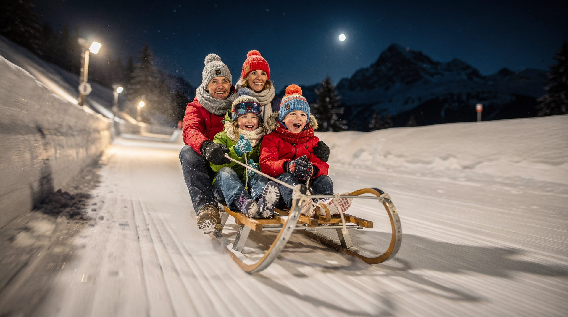
Practical: winter hiking with children
The prepared winter trail network is more accessible for children than snowshoeing or other winter mountain activities because it requires no specialist equipment and the paths are maintained to a safe standard. Children aged 5 and above can typically manage the shorter routes on the prepared network with appropriate footwear and clothing.
Key considerations:
- Footwear: Waterproof boots are essential for children as well as adults. Wet feet in cold conditions cause rapid discomfort.
- Pace: Children tire more quickly in cold and may need more frequent stops. Build in time for hot chocolate breaks.
- Daylight: In January, Swiss alpine daylight ends by 17:00. Plan shorter routes that conclude before dusk.
- Rigi for families: The Rigi prepared trail network is particularly family-friendly — the rack railway provides warm transport at both ends, the trails are wide and well-graded, and the Kaltbad mineral baths provide a reward at the end.
The family activities guide covers the broader range of Swiss winter experiences with children. For family ski resort recommendations where winter hiking is integrated into the resort offer, see the dedicated guide.
Winter hiking and wellness: Switzerland’s spa culture
Many of Switzerland’s winter hiking destinations are located near thermal bath complexes, creating a natural activity pairing that is emblematic of Swiss mountain wellness culture. The combination of outdoor exercise in cold, clean mountain air followed by immersion in 36-40 degree mineral water is genuinely restorative.
Key thermal and spa destinations near winter hiking areas:
Leukerbad: The largest thermal resort in the Alps, with multiple pool complexes. The Leukerbad Therme and the Burgerbad (the two largest facilities) are open year-round and offer outdoor pools where bathers sit in hot mineral water while snowflakes fall. The Gemmi Pass winter hiking trail above Leukerbad adds a full Alpine day before the bath visit.
Bad Ragaz: A grand spa resort in the Rhine valley near Liechtenstein, with thermal spring water heated to body temperature. The surrounding winter trail network in the Tamina valley connects the spa with genuine mountain walking. The historic Tamina Gorge, where the thermal spring emerges from deep in the rock, can be visited by winter walkers.
Rigi Kaltbad: The mineral bath complex at Rigi-Kaltbad (reached by cable car from Weggis or on foot from Rigi-Kulm) is the most dramatically situated spa in Switzerland — the outdoor pool looks directly over Lake Lucerne and the central Swiss Alps. The sauna facilities and the outdoor heated pool with lake views make this an exceptional end to a winter walk on Rigi.
Vals: The Therme Vals by Peter Zumthor (1996) is one of the most celebrated buildings in 20th-century architecture — a severe, beautiful structure of locally quarried Valser quartzite stone in which bathing pools of different temperatures are arranged around central hot and cold contrasts. The Via Alpina passes through the Vals valley. The Therme Vals requires advance booking.
Training benefits of regular winter hiking
Winter hiking as regular exercise has specific physiological benefits beyond its role as leisure activity. Walking on uneven snow engages stabilising muscles of the foot, ankle, and lower leg more intensively than flat-surface walking, improving proprioception and balance. The cardiovascular demand is higher than equivalent-distance walking on clear trails, as the energy cost of each step through snow (even packed snow on prepared trails) is greater.
Cold temperatures increase caloric expenditure at rest — the body works harder to maintain core temperature — adding to the overall energy expenditure of a winter hike compared to a summer equivalent. For those hiking regularly through a Swiss winter season, this combination of muscular and cardiovascular demand provides significant fitness benefits.
Research in environmental medicine has also documented psychological benefits from cold-weather outdoor exercise, including reduced depression symptoms and improved sleep quality in the weeks following regular cold-exposure exercise. This aligns with the anecdotal experience of many regular winter hikers who describe a sense of wellbeing that persists long after the activity ends.
Building a winter hiking routine in Switzerland
For visitors spending extended time in Switzerland — whether working remotely, on a multi-week language course, or relocating temporarily — building a regular winter hiking routine is one of the most effective ways to engage with the country’s landscape through the cold months.
The Swiss prepared winter trail network is designed precisely to support this: consistent, safe, varied trails within 30-60 minutes of major city centres by train. Zurich residents access Rigi or Fronalpstock within 90 minutes; Bern residents reach the Bernese foothills in 45 minutes; Geneva residents can be at winter trails in the Vaud pre-Alps in an hour.
A simple programme: two weekday evening microhikes (1-2 hours on local prepared trails, achievable after work with a head torch if needed) plus one full-day Saturday hike in a destination area. Over a Swiss winter of four months, this builds a substantial relationship with the landscape and provides consistent physical and psychological benefit.
The best time to visit Switzerland includes seasonal notes on winter hiking conditions and how they interact with the overall Swiss travel calendar.